June 22, 2015
Luis Dilger / City Layouts
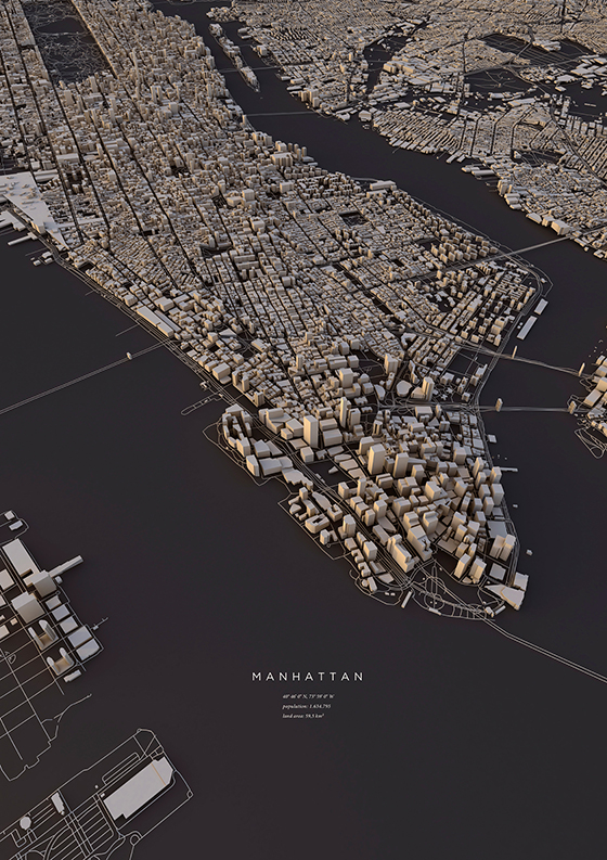
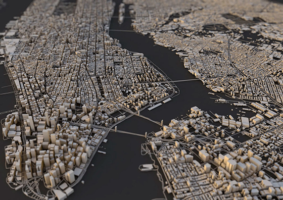
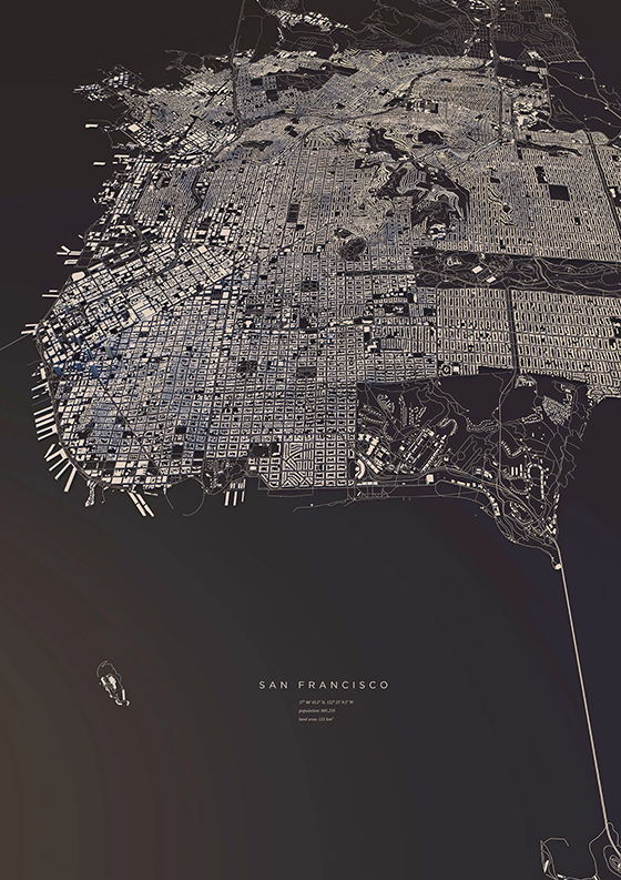
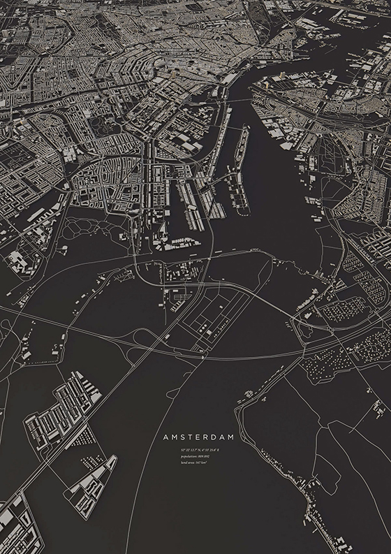
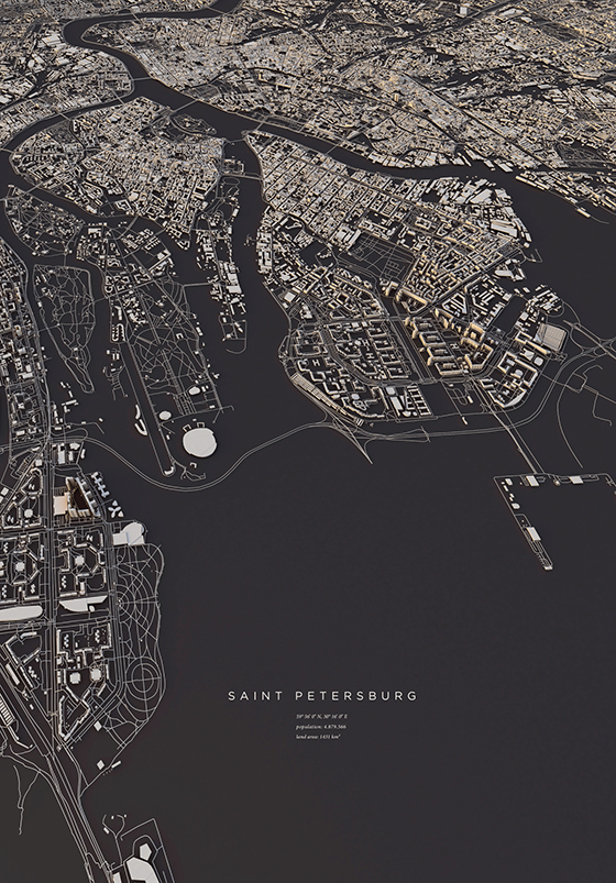
Luis Dilger uses the technology of OpenStreetMap data, DEM Earth, and Cinema 4D to create a visualization of major capital cities and small towns in City Layouts. Topography, buildings, and traffic patterns all play their part and are represented in Dilger’s real work realizations. You can pick up prints of sixteen different maps in his shop.
Posted In create, paper goods, prints


No Comments